Sailing Puerto Rico – Discover The Charms Of The Southern Coastline
The Thorny Path (Part 3)
Welcome back to Part 3 of our Thorny Path passage from the Dominican Republic east to St. Martin – sailing Puerto Rico! Join us on this leg of our adventure as we cross the infamous Mona Passage, and enjoy some beautiful Puerto Rico sailing (or motoring into the wind!). Learn about the stops we make along the west coast, south coast, and Spanish Virgin Islands, and the pleasant surprises we find along the way. We are already talking about checking out some of these spots again!
Also covered is our check-in process for us and our dog Mangaux using the CBP Roam app when we arrived in Puerto Rico.
The Route Across the Mona Passage
We started our Thorny Path adventure in the Bahamas, when we left from the Exuma Cays and sailed to the Dominican Republic. After sailing Dominican Republic, we left from Samana Bay, Dominican Republic and sailed across the Mona Passage to Puerto Real, Puerto Rico. This passage was 143.5 nautical miles and took us 24 hours, averaging approximately 6 knots.
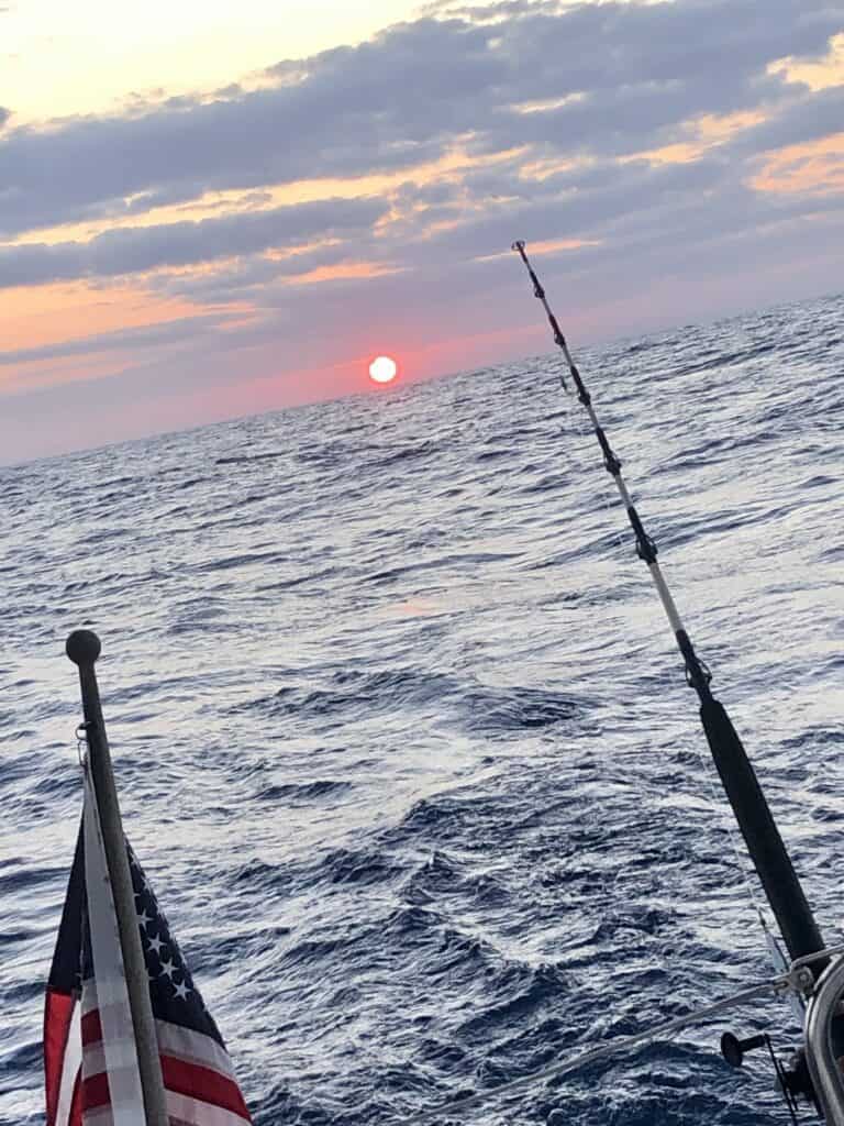
Sailing out of Samana Bay in the early morning hours, we saw several humpback whales, including one that breached out of the water right in front of us!
We stayed just off the northern coast of Dominican Republic, up until we got near Punta Cana on the east coast of Dominican Republic. From there, we ventured away from the coastline and went north around hourglass shoal, located off the coast of Punta Cana.
While hourglass shoal is approximately 200 – 600 feet deep, it is surrounded by much deeper water around 900+ feet. Currents in the area, such as the Equatorial Current, can wreak havoc over these shallower waters, so it is best to steer clear and go around it in the deeper waters.
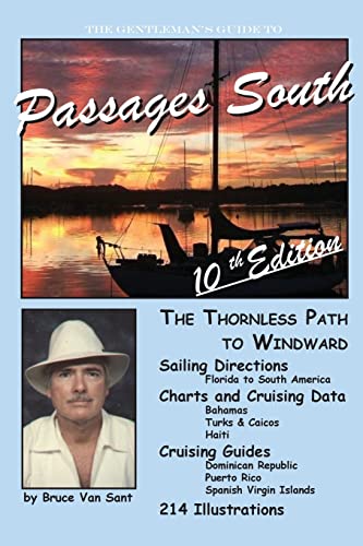
We planned our passage to arrive in Puerto Rico early the next morning, as the west coast of Puerto Rico is known to have pop up afternoon thunderstorms that we wanted to avoid, as mentioned in the Passages South book by Bruce Van Sant.
The Passage
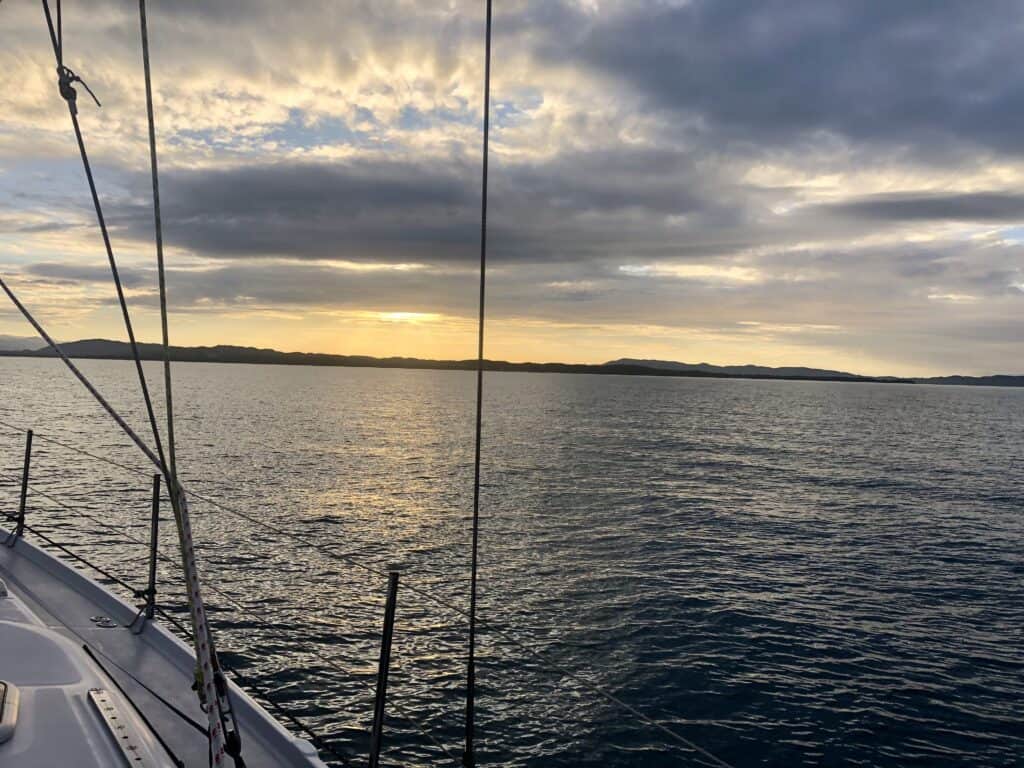
We picked a good weather window, using PredictWind and our other favorite weather apps, of light winds and 4-6’ swells with 9-10 second periods. Overall, it was a good motor sail with 7-10 knot winds out of the east and east southeast. A bit rolly as predicted, but not bad.

The Arrival
We arrived the next morning into Puerto Real, and anchored in the bay near Marina Puerto Real. We checked in with US Customs & Border Patrol (CBP) using the CBP Roam App. We had already entered our information in the app and got verified as trusted travelers, to help make our check-in process more efficient.
CBP did set up a video call with us through the Roam App. They visually verified us with our passports (we held them up next to us) and asked if we had weapons or animals onboard. In regards to the animal question, we told them we had a dog onboard. They asked us if we had all his vaccination paperwork, which we do, and that was it. It was a very easy process to get us and Mangaux into Puerto Rico.
Sailing Puerto Rico
Puerto Real
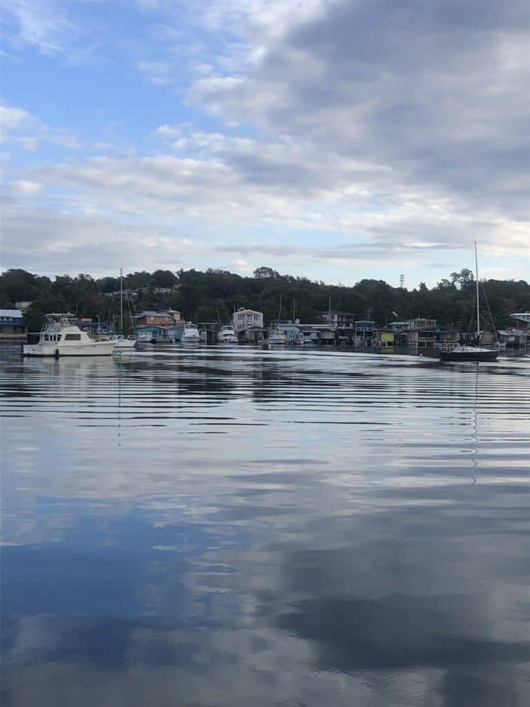
The anchorage in Puerto Real was the calmest, most protected anchorage we have experienced in a very long time!
Marina Puerto Real was very cruiser friendly, allowing us to use their dinghy dock and take showers, free of charge! We also were able to use their washer and dryer at $2/each, give Mangaux a bath on the docks (he loved it!), and rent a car for the day to go to Mayaguez for provisions (Walmart and PetSmart).
The only downfall of this anchorage, was the dog walks for Mangaux. There are several packs of dogs in Puerto Real, making Mangaux walks a bit of a challenge. We did find a beach just south of the bay that we took Mangaux to in the mornings, and walked him around the marina in the afternoons.
Before leaving Puerto Real, we filled up our diesel tanks and water tanks at Marina Puerto Real’s fuel dock. It was very easy in and out, and as much water as we needed for only $3.50.
Puerto Real Anchorage
- Latitude: 18° 04’ 26.75”N, Longitude: 67° 11’ 28.71”W
- Holding: Good holding in soft bottom
- Wind Protection: Protected from all directions but west in an almost totally enclosed bay
- Depth: 8+ feet
- Pet Friendly: Yes, see note above
- Groceries: No, we rented a car to get to Walmart in Mayaguez
- Restaurants: Yes, great bakery walking distance, marina has a great restaurant on-site, and several other restaurants/bars nearby.
Boquerón
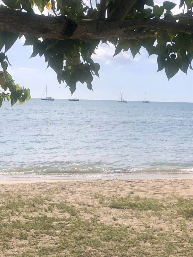
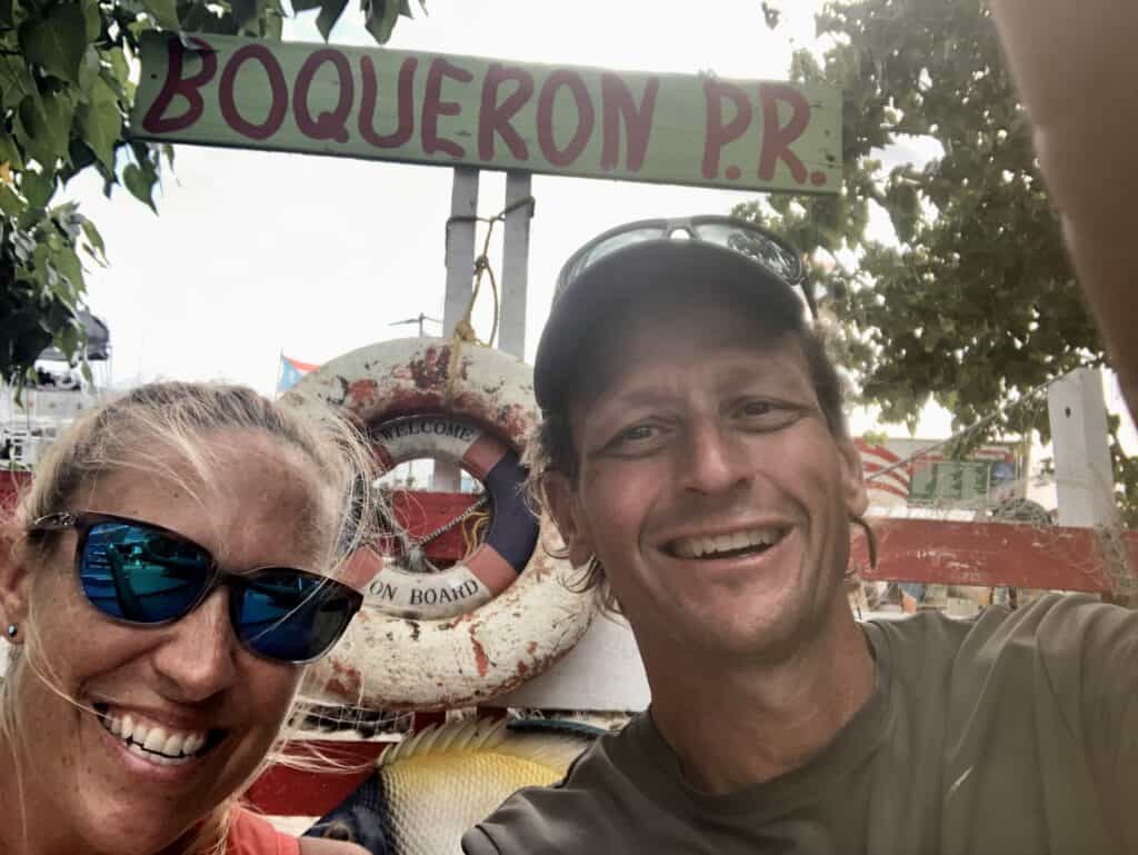
From Puerto Real, we sailed south along the west coast approximately 6 nautical miles and stayed in Boquerón for a night. This bay is a bit more open than Puerto Real, so there was a slight roll here, but still a great anchorage.
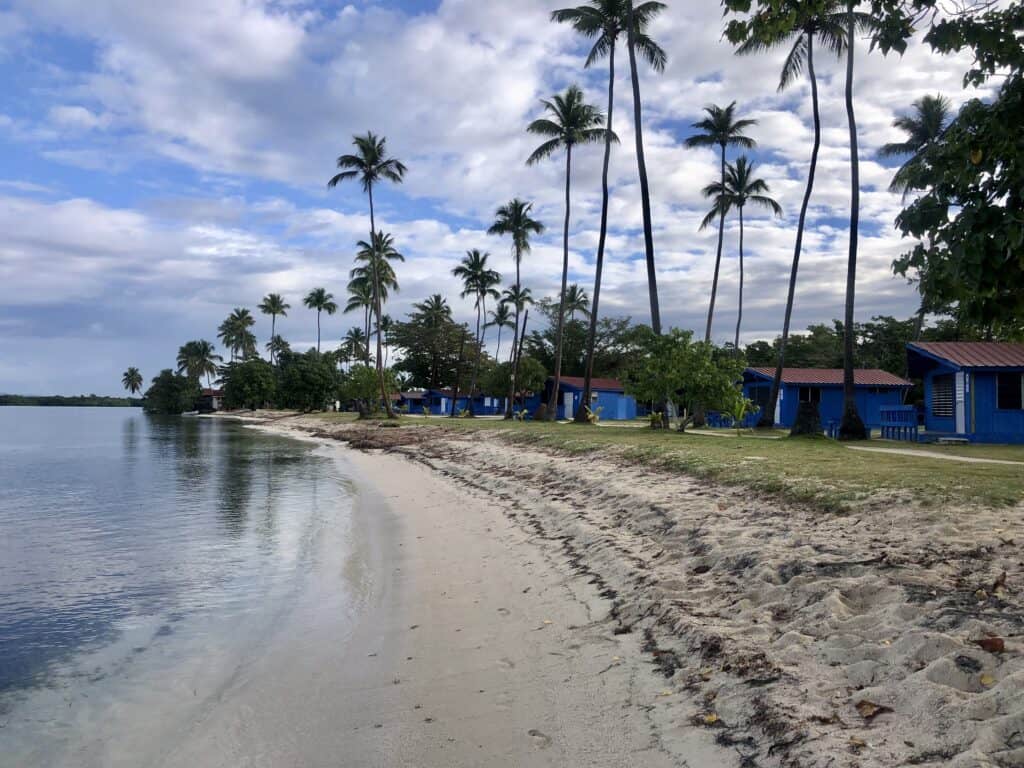
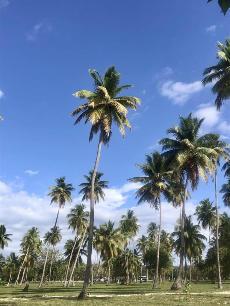
We were told that Boquerón is the Key West of Puerto Rico! While it may not be as big as Key West quite yet, it does have several bars and restaurants, and appears to be a great weekend getaway spot for locals and visitors alike. The “downtown” area is located immediately adjacent to a big public beach, lined with beautiful palm trees. Mangaux definitely enjoyed his walks here.
Boquerón Anchorage
- Latitude: 18° 01’ 19.92”N, Longitude: 67° 10’ 41.11”W
- Holding: Good holding in muddy bottom
- Wind Protection: Protected from north through east and southern winds
- Depth: 12-17 feet
- Pet Friendly: Yes, great beach and walking area
- Groceries: No
- Restaurants: Yes, several great restaurants nearby. Cabo Beach House Restaurant has a dinghy you can tie up to.
La Parguera
From Boquerón, we sailed past Cabo Rojo Lighthouse at the southwest corner of Puerto Rico and anchored in La Parguera, a 21-nautical mile motor sail in the early morning hours.
Sailing Puerto Rico along the southern coastline has so many great anchorages. We would have loved to stop at Cabo Rojo Lighthouse, but also needed to make progress eastbound while the winds were light.
La Parguera was such a pleasant surprise for us! We didn’t know what to expect before we got there, just that it looked a little tricky getting in there with multiple mangroves and reefs.
Following the charts, we worked our way up to an anchorage that was actually very protected by the layers of mangroves and reefs.
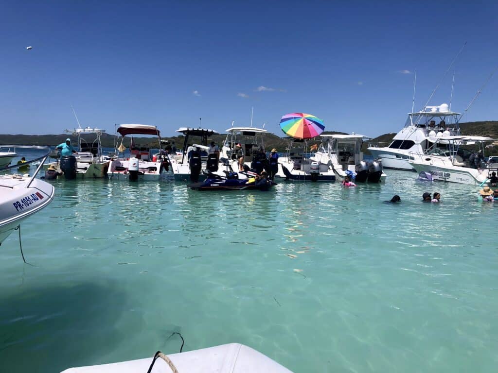
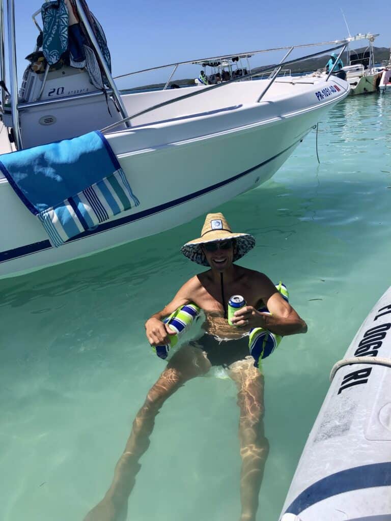
We ended up in La Parguera on a weekend, and it was lively atmosphere with boats anchored off the mangroves, restaurants and street vendors hopping and even a salsa night in town.
The one downside to La Parguera was the dinghy landing. They do not have any beaches in the town, and no dedicated place to land dinghies, as the shoreline is full of private docks for homes and businesses.
There is a boat ramp, just outside of town with mangroves on either side, that we were able to tie our dinghy off to. We also found a tiny break between a private dock and mangroves that we brought our dinghy into that was right in the downtown area (although we had to climb a fence to get to shore!).
La Parguera Anchorage
- Latitude: 17° 58’ 11.15”N, Longitude: 67° 03’ 01.05”W
- Holding: Good holding in sandy, grassy bottom
- Wind Protection: Protected from nearly every direction due to mangroves and reefs
- Depth: ~15 feet
- Pet Friendly: Yes, no beaches, but town was great to walk Mangaux
- Groceries: Yes, small grocery store in town that was well stocked
- Restaurants: Yes, several great restaurants in town
Ponce
From La Parguera, we took off at first light for another early morning sail 27 nautical miles to Ponce.
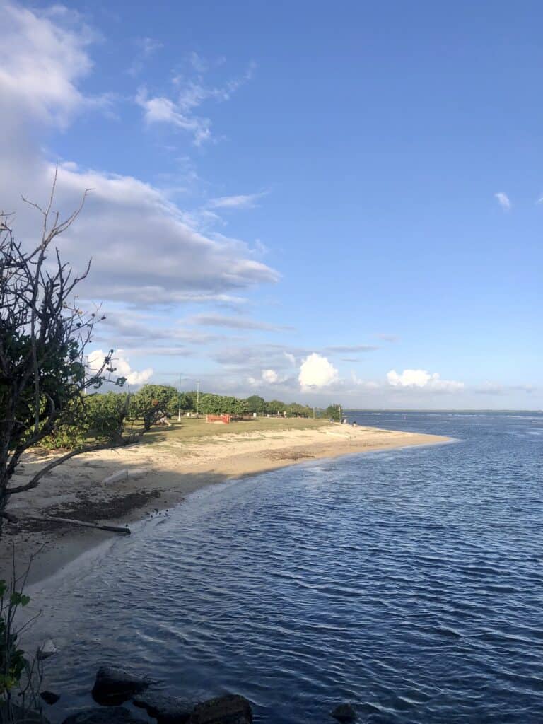
Ponce is much more industrial where we anchored behind several resident boats on private mooring balls, in the bay north of the Ponce Yacht and Fishing Club.
Note: The Ponce Yacht and Fishing Club does not allow dinghies to tie up to their docks, or use any of their facilities.
At the very east end of the bay is another marina that allows dinghies to tie up for shore access. Across from this marina is a big city park and beach that was great for walks with Mangaux.
Ponce is a great location for provisioning before heading east to the Spanish Virgin Islands and beyond in the Caribbean. We took a taxi to the Home Depot and Super Walmart (conveniently right next door to each other) for $15 and an uber back for $10. The prices here were very comparable to Walmart in the United States.
Ponce Harbor Anchorage
- Latitude: 17° 57’ 57.01”N, Longitude: 66° 37’ 04.10”W
- Holding: Good holding in muddy bottom
- Wind Protection: Protected from north to southeast winds
- Depth: 25-30 feet
- Pet Friendly: Yes, beach and park nearby
- Groceries: Yes, with a taxi or Uber
- Restaurants: Nearby food stands and restaurant only open on selected days. Several restaurants in Ponce via taxi or Uber

Isla Caja de Muertos
During Scott’s United States Coast Guard days, he got to visit Isla Caja de Muertos by helicopter to inspect the lighthouse here. He couldn’t wait to come back and visit by sailboat.
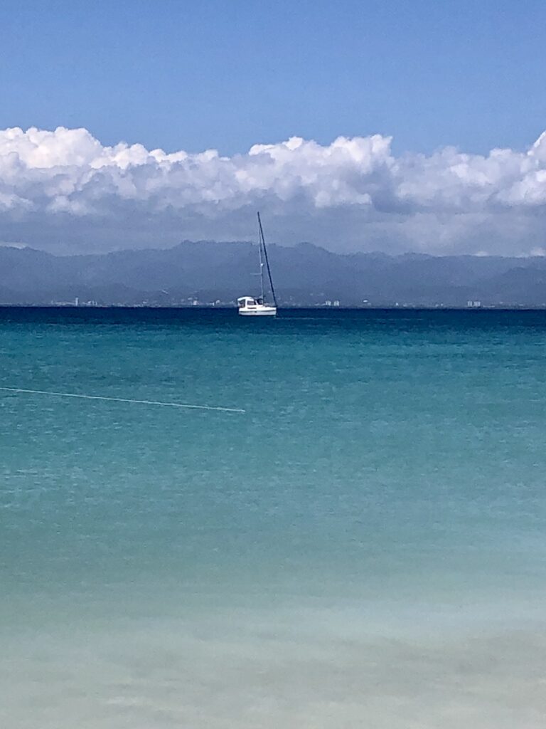
This is an uninhabited island with a beautiful beach on the western side. There was a ferry dock and visitor’s center on the island, however, both have been severely damaged by an earthquake in 2020, and have not been restored.
We sailed approximately 7 nautical miles here from Ponce to anchor for the day and enjoy the beautiful beach.
It was a very rolly anchorage, with swells wrapping around the island, and I would not recommend this as an overnight anchorage (at least on a monohull!) unless you have very calm conditions.
From Isla Caja de Muertos, we decided to sail overnight directly to Culebra on the eastern side of Puerto Rico. This was an 83 nautical mile sail, taking us 15.5 hours and averaging 5.3 knots directly into the wind.
While sailing Puerto Rico along the southern coastline in short early morning hops was working great for us, we were antsy to keep making progress east. We were hoping the winds would die down during the nighttime, however, that was not the case. Our passage took us directly into 10-13 knot winds in very rolly and somewhat uncomfortable conditions with 2–5-foot swells at times. It did get better in the last couple hours of our passage once the sun came up!
By going this route, we did miss on a few stops along the south coast of Puerto Rico, such as Salinas, Patillas, and Isla Pineros, which we have heard good things about through reviews and word of mouth.
Isla Caja de Muertos Anchorage
- Latitude: 17° 53’ 13.00”N, Longitude: 66° 31’ 47.49”W
- Holding: Good holding in sandy bottom
- Wind Protection: Protected from east winds
- Depth: 15 feet
- Pet Friendly: Yes, beautiful beach and uninhabited island
- Groceries: No
- Restaurants: No

Culebra
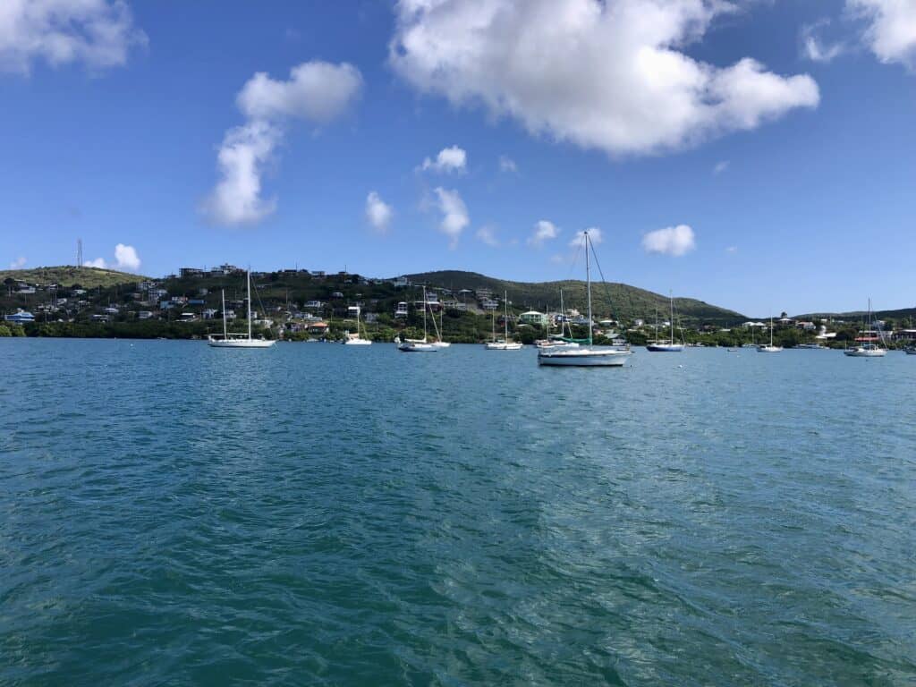
Culebra was another pleasant surprise for us as we sail Puerto Rico! We had both heard great things about this island, but didn’t know much about it.
I motored us into Ensenada Honda harbor, where we anchored in a well-protected area close to town.
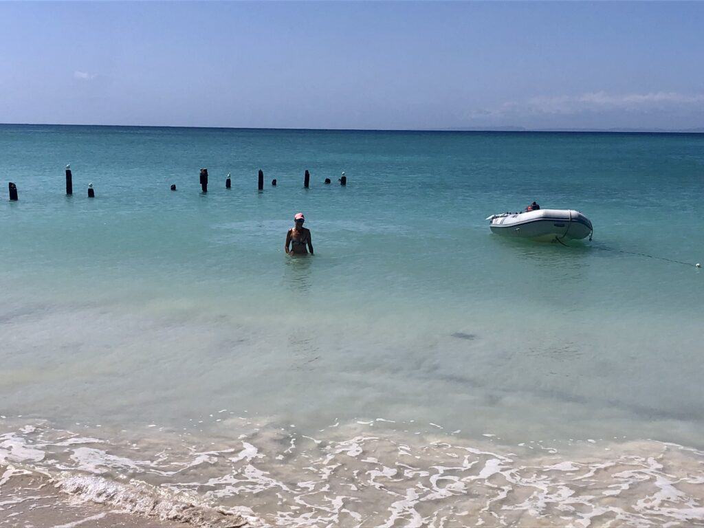
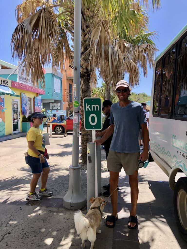
The anchorage has a dinghy dock close to restaurants and laundry, and a beach nearby. The town was full of activity with tourists and boaters. We only spent 2 nights here, but look forward to coming back to explore more of what this island has to offer!
Ensenada Honda Anchorage
- Latitude: 18° 18’ 23.03”N, Longitude: 65° 17’ 55.93”W
- Holding: Good holding in grassy, sandy bottom
- Wind Protection: Protected from all directions but southeast; no swells
- Depth: 15 feet
- Pet Friendly: Yes
- Groceries: Yes, small markets in town
- Restaurants: Several restaurants in town
Pleasant Surprises Sailing Puerto Rico
Scott and I both found sailing in Puerto Rico to be full of pleasant, unexpected surprises. The towns were fun to explore, and the people were very friendly, with nearly everyone we encountered speaking good English (which helped us tremendously as neither of us speak good Spanish). We absolutely loved La Parguera and Culebra, and can’t wait to explore these areas, San Juan and more in the future.
Next on our horizon is sailing to St. Thomas, in the US Virgin Islands! You can see St. Thomas from Culebra, so we have a short sail ahead of us to get there.
We would love to hear about your adventures sailing Puerto Rico and the rest of the Caribbean. Feel free to leave a comment, or reach out to us on Facebook or Instagram.
Live your dream,

