Smooth Sailing Itinerary from Bimini to the Abacos
We started our sailing journey in January 2023 completing our 6-year financial plan to sail away when we sold everything, quit our jobs and left Mobile, AL. From Mobile, AL sailing the Gulf of Mexico, we arrived in Key West. After spending some down time in Key West, we continued sailing Key West to Coconut Grove where we provisioned for the Bahamas and prepped for our Gulf Stream crossing to Bimini. Next, we will take you on our sailing adventure going through our sailing itinerary from Bimini to the Abacos, including some stops first in Bimini, the Berry Islands and northern Eleuthera.
Sailing Itinerary from Bimini to the Abacos:
Outside No Name Harbor Anchorage, Key Biscayne, FL to Alice Town, Bimini, Bahamas
The day has finally come to cross the Gulf Stream and sail our way to the Bahamas! We are both excited and I’m a bit nervous as I have never crossed the infamous Gulf Stream before. Lucky for me, Scott has spent much time in the Gulf Stream during his time he was stationed at Key West in the United States Coast Guard.
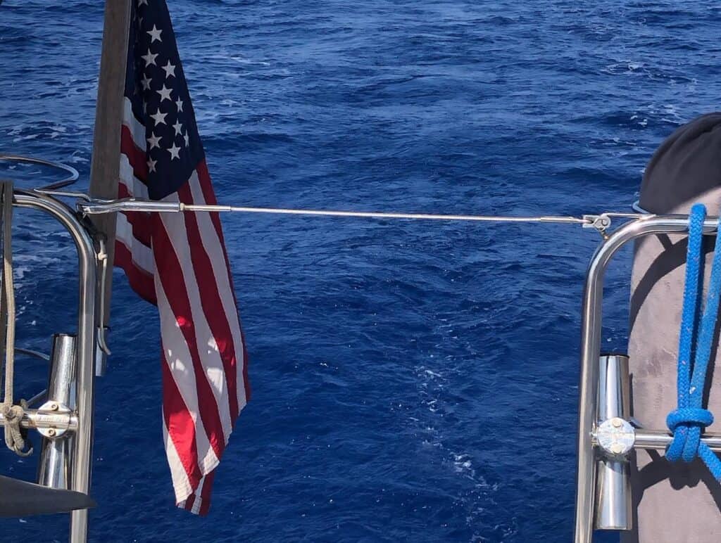
We had a great motor sail across the Gulf Stream in calm conditions, and as we got close to Bimini, we saw a huge sailfish surfacing on the water! It was crazy to see its tall fin swimming along side of us.
Upon arrival to Bimini, we went into a slip at Bimini Blue Water Resort, so we could clear into the Bahamas with Customs and Immigration. To learn about that process, check out the guide I wrote for clearing into the Bahamas and how to use Click2Clear. After Scott got us all cleared in, only Scott is allowed off the boat until we are cleared, we took Mangaux for a walk and already found beautiful sand beaches nearby. There are extra steps to bring a pet to the Bahamas; read more about that in our article Bringing a Dog to the Bahamas.

We ended up staying at Bimini Blue Water Resort for 5 nights waiting for our next weather window. This did allow us to meet other cruisers at the marina who just arrived as well.
We also developed our plan for our next sailing destinations. We knew we wanted a sailing adventure through the Abacos, but there are a couple of ways to get through. We decided to go to the Berry Islands next, and eventually arrive at the southern end of the Abacos. Another boat had the same plan, so we had a buddy boat to travel with. Alternatively, we could have sailed north to Grand Bahama Island and approached the Abacos from the northwest end of the chain of islands.
Bimini Blue Water Resort, Alice Town, Bimini, Bahamas
- Latitude: 25° 43’ 29.40”N, 79° 17’51.61”W
- Cost: $1.25 per foot
- Slips: Fixed docks
- Power: Yes – $15 per day for 30 amp
- Water: Yes – $0.75 per gallon (RO water)
- Laundry: No – there was a house nearby that had a sign for laundry, however, we did not do laundry in Bimini.
- Pet Friendly: Yes
- Groceries: Minimal groceries available at a few stores. VERY expensive (we paid $12 for a head of lettuce and a bottle of lemon juice)
- Restaurants: Yes
Sailing Itinerary from Bimini to the Abacos:
Bimini to East Side of Great Harbour Cay, Berry Islands
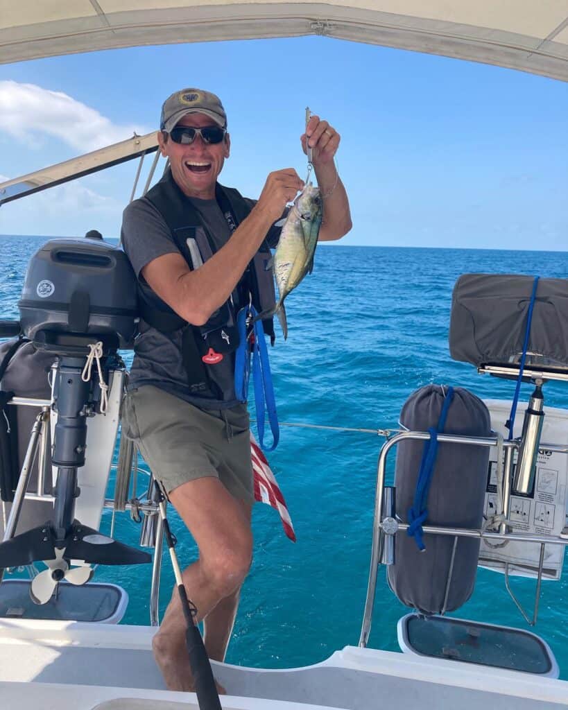
After waiting for the weather system to pass through, we left Bimini and sailed 89.5 nm to Great Harbour Cay. We had winds out of the west, so we anchored on the east side of Great Harbour Cay, near the airport and Beach Club bar. We had some great winds, reached over 8 knots under full sail and even caught a fish! Even at these speeds, however, it was quite the distance and we didn’t arrive to our anchorage until after dark. We don’t like to arrive to new anchorages in the dark, but luckily this anchorage was all sandy bottoms and flat calm when we arrived.
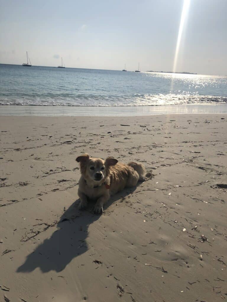
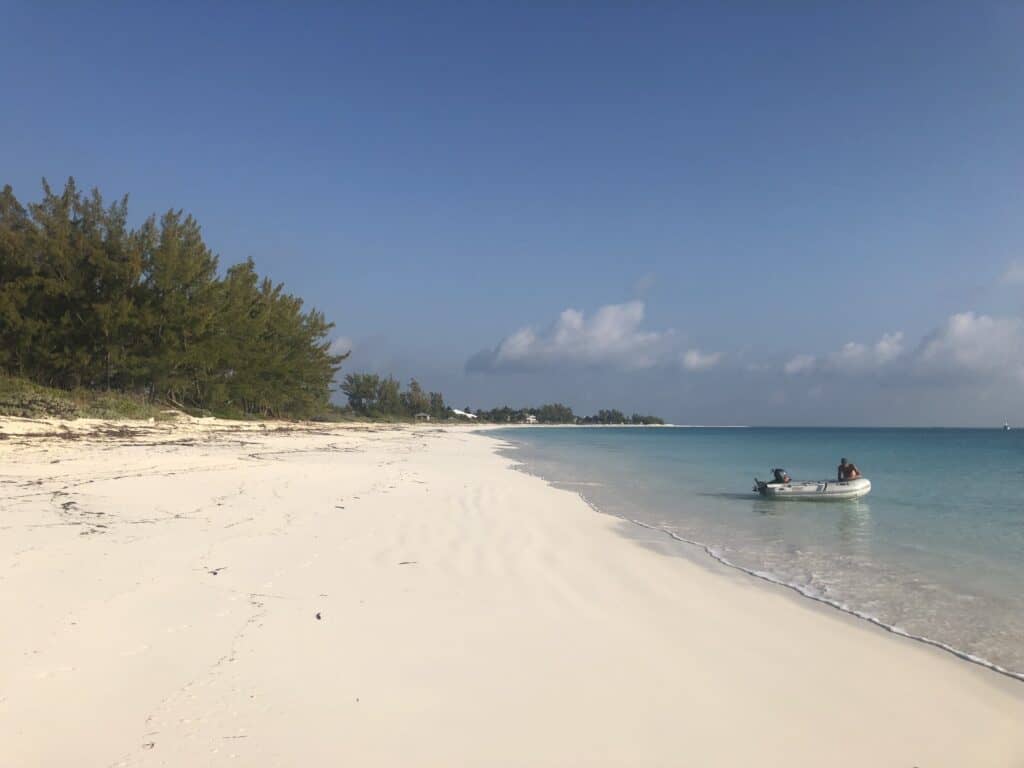
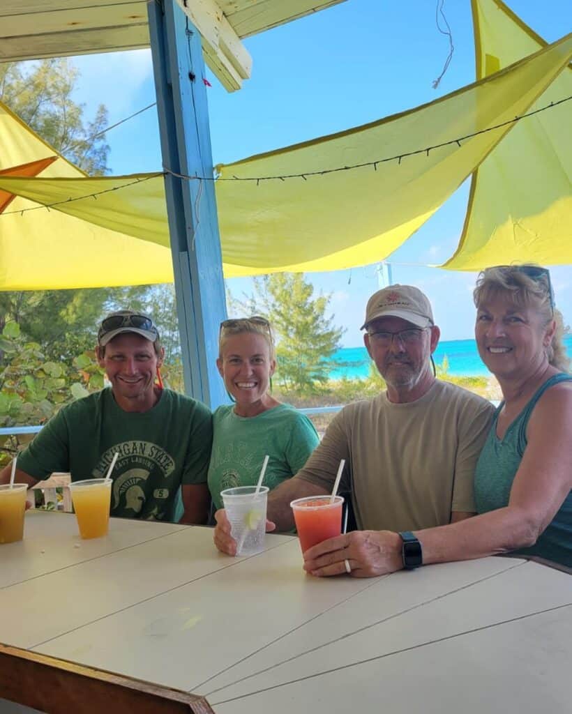
While on the east side of Great Harbour Cay, we explored the expansive and beautiful beach that surrounds this anchorage. Mangaux loved his walks here and we enjoyed a drink at the Beach Club restaurant.
East Side of Great Harbour Cay Anchorage
- Latitude: 25° 44’ 37.80”N, 77° 50’ 10.80”W
- Holding: Good holding in sand
- Wind Protection: Protected from south and west winds. Beware of swells north through northeast!
- Depth: 8-10 feet
- Pet Friendly: Yes – Big, beautiful beach
- Groceries: No
- Restaurants: Yes- Beach Club Restaurant is on the beach at this anchorage
East Side of Great Harbour Cay to Bullocks Harbour (West Side of Great Harbour Cay)
The winds were shifting on us, so we needed to leave the east side of Great Harbour Cay after 2 nights and sail over to the west side for protection from the winds coming out of the east. We sailed 18.4 nm around the north end of Great Harbour Cay where Great Stirrup Cay and Coco Cay are located. Great Stirrup Cay is a private island owned by Norwegian Cruise Line and Coco Cay is owned by Royal Caribbean. It was fun sailing by the large cruise ships, just be on the lookout for their ferry traffic taking their passengers to and from the islands.
We hung out in Bullocks Harbour for 3 nights and explored the west side of Great Harbour Cay. There is a government dock here that you can tie your dinghy up to and walk around town. It is a very small town, but we found a good restaurant to eat at, Hammerhead Restaurant and Bar, and found a very small grocery store if you needed essentials.
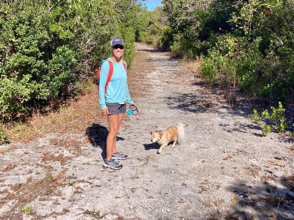
While in Bullocks Harbour, we explored Cistern Cay, just north of our anchorage. We hiked up the trail and found 2 abandoned homes and an abandoned maintenance building that once belonged to drug lords from back in the day. The rumor is that the DEA raided the drug lords at their homes on this island.


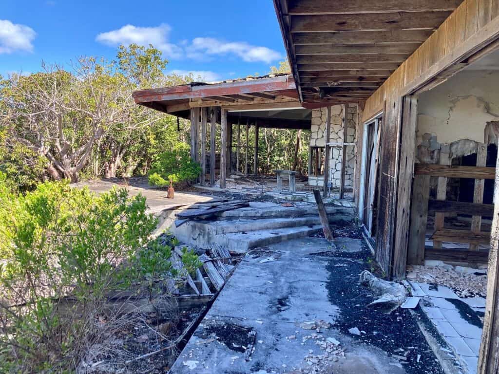
You can also see a plane wreck sticking out of the water at lower tides just south of Cistern Cay. Did the plane miss the island, or was he too heavy loaded with drugs after take-off??? One will never know.
After our exploring on Great Harbour Cay and Cistern Cay, we headed back to the east side of Great Harbour Cay to stage for our next big passage to northern Eleuthera.
But, before we took off, we experienced big swells that day and night! So big that Mangaux got seasick – his one and only time to date, and our red wine spilled out of the cup holder and all over the cockpit! All while anchored!!
West Side of Great Harbour Cay, Bullocks Harbour Anchorage
- Latitude: 25° 45’ 06.60”N, 77° 52’ 28.79”W
- Holding: Good holding in sand and grass
- Wind Protection: Protected from the north through southeast
- Depth: 6-9 feet
- Pet Friendly: Yes – beach access at Cistern Cay and dinghy access at the government dock
- Groceries: Small grocery store with minimal supplies and a liquor store
- Restaurants: Yes
Sailing Itinerary from Bimini to the Abacos:
East Side of Great Harbour Cay to Northern Eleuthera
Time to set sail and check out Northern Eleuthera. We sailed 62.7 nm in what we call the Salty Sail! Conditions were a bit rolly, but nothing bad. However, we did start taking waves over the bow so much that they came crashing in our cockpit! Time to close the front dodger! There were some questionable skies stirring things up, but we managed to avoid any storms and arrived to more crystal-clear waters on the east side of Meeks Patch.
Note:
Little did we know we would meet some of the coolest sailors in Northern Eleuthera and have some of the best times at anchor here. Including an impromptu sunrise yoga class on the beach!
We spent one night on the east side of Meeks Patch visiting its beautiful beach before we moved 1.4 nm north to an anchorage just south of Russell Island for protection from some northerly winds headed our way. The south side of Russell Island is homes, however, you can dinghy in to Spanish Wells. We tied our dinghy up at Pinder’s dock for dog walks, grocery shopping and exploring St. Georges Cay (Spanish Wells).
Tip
There is a larger grocery store further in town called Food Fair where we provisioned before leaving our anchorage at Russel Island. If you want to know what food we bought, and how expensive it was, check out the Provisioning for the Bahamas article.
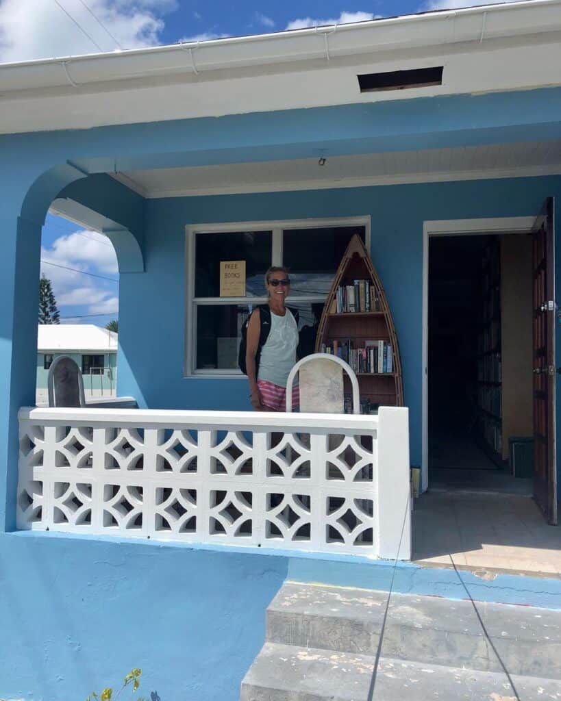
We found a very cool bookstore/library we checked out, and had a wonderful time at Budda’s for some beers and food. Budda’s was one of the most reasonably priced restaurants we came across in all of the Bahamas. We also walked to the northern shore of St. Georges Cay and found the most stunning beach – what anyone would think of when they think of the Bahamas!
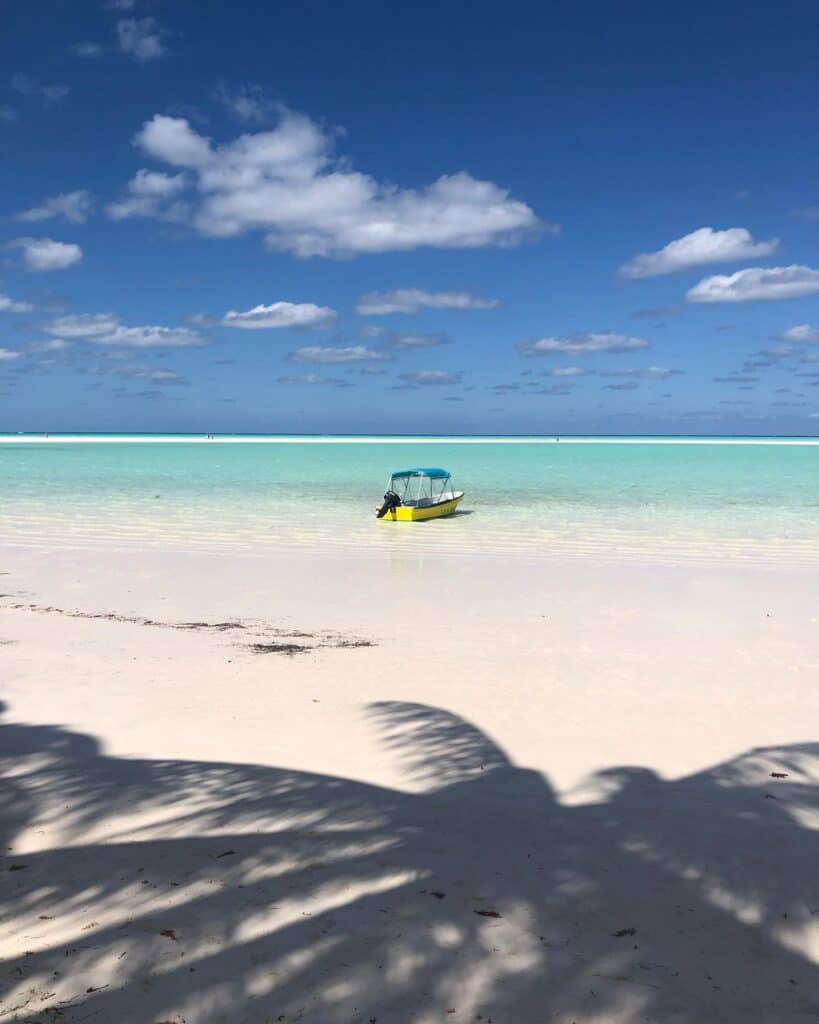
Another wind shift means another anchorage, so time to move on. Luckily, it was just 2.3 nm to the west side of Meeks Patch.
Tip
The anchorages we bounced between in Northern Eleuthera were all very close together and provided protection from all of the various wind directions
The west side of Meeks Patch is the home to many pigs! Yep, we found the pigs! There is a nice man named Andre who shows up each morning and allows people to feed the pigs (for a fee, of course). And boy do they show up. All day long we saw various charter boats bringing people over to see the pigs. That was great by us, as we would bring our dinghy to the other end of the beach and enjoy the beautiful scenery and watch all of the boats. However, when the day was over and the charter boats went back home, the pigs would run the beach and come check out what we had to offer them.
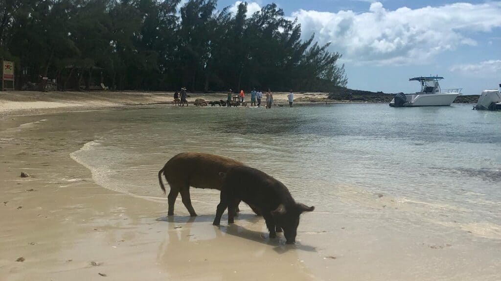


We had one flat calm day while anchored on the west side of Meeks Patch. It was like being anchored in a swimming pool. We paddled around the anchorage, and from the paddle board you could see starfish sitting on the sandy bottom and fish swimming by. Another day we took the dinghy to the south end of Meeks Patch and snorkeled around. We saw lots of tropical fish, conch and a lion fish that Scott speared.
Meeks Patch East Anchorage
- Latitude: 25° 31’04.3”N, 76° 46’35.0”W
- Holding: Good holding in sandy bottom
- Wind Protection: Protection from northwest to south winds
- Depth: 6-8 feet
- Pet Friendly: Yes – beach access
- Groceries: No – unless you dinghy over to Spanish Wells
- Restaurants: No – unless you dinghy over to Spanish Wells
Russell Island Anchorage
- Latitude: 25° 32’ 16.57”N, 76° 45’ 39.91”W
- Holding: Good holding in sandy bottom
- Wind Protection: Protection from the northwest through northeast
- Depth: 6-7 feet
- Pet Friendly: Yes
- Groceries: Yes – Food Fair (first big supermarket we came to) and Pinders
- Restaurants: Yes – go to Budda’s!
Meeks Patch West Anchorage
- Latitude: 25° 30’ 42.43”N, 76° 46’ 58.83”W
- Holding: Good holding in sandy bottom
- Wind Protection: Protection from northeast to southeast winds
- Depth: 7-9 feet
- Pet Friendly: Yes – beach access
- Groceries: No – unless you dinghy over to Spanish Wells
- Restaurants: No – unless you dinghy over to Spanish Wells
Conclusion
We spent an entire week amongst these 3 anchorages in Northern Eleuthera, but it was time to go explore the Abacos. There are a couple of ways to get to the Abacos. You can head north through Ridley Head Channel, however, it is very tricky and narrow and cruisers often hire a local pilot to get through it. We opted to go the longer way west to Egg Island and took Egg Island Cut between Egg Island and Little Egg Island before heading north for the Abacos.
On this leg of the adventure, we sailed 242 nautical miles, spent 329.25 on one marina at Blue Water Resort in Bimini. We also spent $75.00 on power at the marina and $0.00 on water as we were able to use our watermaker at the dock there.
Our next article will be about sailing the Abacos chain and all of our sailing adventures while in the Abacos. We were able to explore Hope Town on Elbow Cay, Marsh Harbor, Treasure Cay, Guana Cay, Green Turtle Cay, and many other islands! Our friends came to visit us and we had quite the time in the towns and remote anchorages alike.
Live your dream,