Sailing the ICW – Protected Intracoastal Waterway North Carolina and Virginia
In our last article, I covered our sailing offshore from Florida to North Carolina, and now we will be sailing the ICW, or intracoastal waterway, to get to our final destination for the summer in the Chesapeake Bay. While we prefer to sail offshore, there are some benefits of “staying on the inside” and sailing the ICW. In this article, I’ll share with you our sailing the ICW from Beaufort, NC to Hampton, VA and why we chose this route.
What is the ICW?
But first, what is the ICW? The ICW, or intracoastal waterway, is approximately 3,000 miles of inland waterway that runs from Massachusetts all the way to TX. It runs inland of the Atlantic Ocean along the east coast of the United States, down around the Florida Keys, back up the west coast of Florida along the Gulf of Mexico through Alabama, Mississippi, Louisiana, ending in Brownsville, TX.
Some sections of the ICW are natural waterbodies, such as bays, rivers and sounds, while other sections are artificial canals.
Sailing the ICW
We started our path sailing the ICW in Beaufort, NC and traveled 198.5 nautical miles (nm) until we arrived at an anchorage in Phoebus, VA near Hampton, VA. We decided to stay on the inside during this section of the east coast to avoid having to sail around Cape Hatteras. We also have more flexibility with the weather on the ICW as it is protected by land.
While sailing around Cape Hatteras can be calm and enjoyable, and many sailors do it, it is notorious for rough seas and shifting sandbars. It is respectfully nicknamed “the graveyard of the Atlantic.” Scott has navigated many miles around Cape Hatteras in his United States Coast Guard days, and has a full appreciation of how ugly it can get out there.
Another thing to consider sailing the ICW was the number, height, and operational schedule of bridges. We broke down our passages into sections we would travel each day, and took a look at the bridges in each section. While there are a lot of bridges to pass under, we were able to break it down to a feasible amount each day.
After considering Cape Hatteras and the bridges on this stretch of the ICW, we decided to stay on the inside.

Beaufort, NC to Hobucken, NC
We left Beaufort, NC and traveled 39.1 nm across the Neuse River and past Oriental, NC to Hobucken, NC. On our first day sailing the ICW, we traveled under the following bridges:
- Gallants Channel (US 70) Bridge – Fixed 65-foot bridge
- Core Creek (NC 101) Bridge – Fixed 65-foot bridge
We found a hidden treasure in Hobucken at RE Mayo Seafood. RE Mayo is a shrimping company along the ICW that allows cruisers to tie up to their dock while making their way north or south. The best deal about RE Mayo is the price – they charge $0.40/foot! That’s right, it cost us $18 to tie up to the dock for the night!

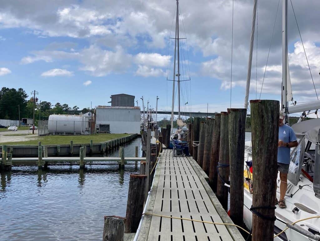
While there is not much in Hobucken besides RE Mayo with their marine supply store and fresh seafood, it was a great stopping point and made for easy dog walks. We enjoyed a nice meal cooking on the sailboat before moving on the next morning.
RE Mayo Dock
- Latitude: 35° 14’ 31.95”N, Longitude: 76° 35’ 25.10”W
- Cost: $0.40/foot/day
- Slips: Fixed dock
- Power: Some spots along the dock have power access, some do not
- Water: No
- Laundry: No
- Bathrooms/Showers: No
- Pet Friendly: Yes
- Groceries: None walking distance
- Restaurants: None walking distance, but RE Mayo does have fresh seafood for sale
RE Mayo Dock to Pungo River G23 Anchorage (near Bellhaven, NC)
After leaving the RE Mayo Dock, we started cruising 26.2 nm north across the Pamlico Sound to the Pungo River. We anchored approximately 8 miles past Bellhaven at Back Landing Bay near Pungo River Green Marker 23.
We only had one bridge to go under on this stretch of the ICW:
- Hobucken (NC 33/304) Bridge – Fixed 65-foot bridge
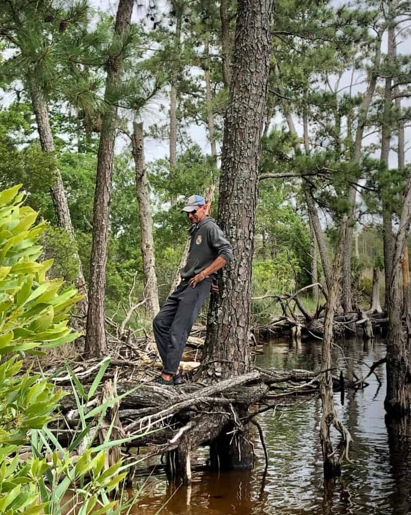
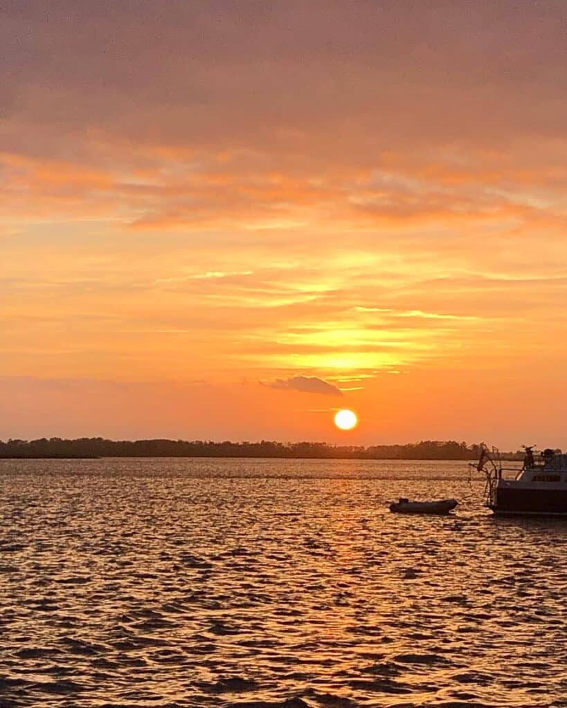
There was a very tiny beach we were able to get Mangaux to and stretch our legs, then we enjoyed a beautiful sunset.

Pungo River G23 Anchorage
- Latitude: 35° 33’ 31.42” N, Longitude: 76° 28’ 00.14”W
- Holding: Good holding in mud
- Wind Protection: Protected from all directions except the south
- Depth: 7-12 feet
- Pet Friendly: Yes – very small beach area
- Groceries: No
- Restaurants: No
Pungo River G23 Anchorage to Durant Island (North Alligator River)
Just north of this anchorage is the Wilkerson Creek Bridge that has a clearance of 64 feet. This is the lowest bridge we will have to go through with our 63-foot mast!
Luckily, this area of the river is not tidally influenced. However, it is influenced by wind and rain.
When we went under the bridge, the water was sitting right at 64 feet of clearance. We could hear our antenna that is mounted on top of the mast clinking against the bottom of the bridge as we went under it!

This was our longest traveling day covering 42.6 nm and going through a total of 3 bridges. Approximately 18 nm of our day was through a long straight canal (or ditch) connecting the Pungo River to the Alligator River.
At the north end of the Alligator River is the Alligator River Bridge. This is a swing bridge that opens on signal, but may not open in high winds. The Waterway Guide mentions that it may not open if winds exceed 34 knots, however, it was closed the day prior to us going through it at winds around 20 knots.

The bridges we passed through during this transit include:
- Wilkerson Creek Bridge – Fixed 64-foot bridge
- Fairfield (NC 94) Bridge – Fixed 65-foot bridge
- Alligator River (US 64) Bridge – Swing bridge opens on signal. May not open if winds exceed 34 knots
After getting through our last bridge of the day, we anchored just north of the Alligator Swing Bridge at Durant Island. We were hopeful to get some shore access to walk Mangaux, however, the shoreline was trees straight to the water. This is one of the challenges of living with a dog on a sailboat. It was also rather windy that day (we were lucky the swing bridge was operating!) and too rough to take the dinghy to shore further away at a boat ramp.
Alligator River – Durant Island South Anchorage
- Latitude: 35° 56’ 35.88” N, Longitude: 75° 56’ 09.33”W
- Holding: Good holding in mud
- Wind Protection: Protected from northeast to southeast winds
- Depth: 8-9 feet
- Pet Friendly: No
- Groceries: No
- Restaurants: No

Durant Island to Coinjock, NC
We left Durant Island the next morning and sailed across Albemarie Sound. It was a bit choppy due to the winds and open area of the sound.
At the north end of Albemarie Sound you have a couple of options – you can travel north up the North River or you can travel a little west of that up the Pasquotank River leading you to the Dismal Swamp. We chose the eastern, North River route.
We traveled up the North River, which turned into a canal, and went under the Coinjock Bridge and moored for the night at the Coinjock Marina. Our total travel distance on this leg was 31.3 nm.
Coinjock Marina is located along the canal portion of the ICW. They have two straight docks along the shoreline, one on either side of the ICW canal. Due to high volumes of boats sailing the ICW, they often raft up boats. We were rafted up with our buddy boat Alaina. Unfortunately, there is no discount for rafting up, and I found this marina to be a bit expensive for these conditions.
Bridge crossed during this leg:
- Coinjock Bridge – Fixed 65-foot Bridge
Coinjock Marina
- Latitude: 36° 20’ 55.95”N, Longitude: 75° 56’ 55.65”W
- Cost: $2.50/foot/day (I was told $2.00/foot/day when I made the reservation, but it suddenly went up to $2.50 when we arrived)
- Slips: fixed dock
- Power: $10.00/day for 30 amp or $20/day for 50 amp
- Water: Free
- Laundry: $2.00 per washer, $2.00 per dryer
- Bathrooms/Showers: Yes, clean and also connected to the restaurant
- Pet Friendly: Yes
- Groceries: No
- Restaurants: Yes – one restaurant on-site at the marina
Coinjock, NC to Chesapeake, VA
Next stop on our journey is Chesapeake, VA 31.8 nm up the ICW.
When we left Coinjock, it was very foggy with a lot of boat traffic. We saw three boats run aground that morning as it is very shallow outside the channel in this area! Our visibility was barely one channel marker ahead.

As the morning went on, the fog finally lifted. After passing through 5 bridges, we arrived at the Atlantic Yacht Basin marina in Chesapeake in sunny and calm conditions. The bridges on this leg of the trip include:
- Pungo Ferry (SR 726) Bridge – Fixed 65-foot bridge
- North Landing (SR 165) Bridge – Swing bridge that opens on the hour and half hour between the hours of 6:00 AM and 7:00 PM. Otherwise opens on signal.
- Centerville Turnpike (SR 170) Bridge – Swing bridge that opens on the hour and half hour Monday through Friday from 8:30 AM to 4:00 PM. Otherwise opens on signal.
- Albemarie & Chesapeake Railroad Bridge – Bridge remains in the open position except for crossing of trains and maintenance of bridge
- Chesapeake Expressway (VA 168 Bypass) Bridge – Fixed 65-foot bridge
Atlantic Yacht Basin
- Latitude: 36° 43’ 12.29”N, Longitude: 76° 14’ 03.04”W
- Cost: $1.75/foot/day (Includes Boat US discount; $2.00/foot/day without discount)
- Slips: fixed dock
- Power: $15.00/day for 50 amp
- Water: Free
- Laundry: $1.00 per washer, $1.00 per dryer
- Bathrooms/Showers: Yes, clean but no lock or code on door
- Pet Friendly: Yes
- Groceries: Yes – Kroger ½ mile away
- Restaurants: Yes – several restaurants within walking distance
Chesapeake, VA to Phoebus, VA
Right out of the gate, just north of the Atlantic Yacht Basin, is a lock to go through, immediately followed by a bridge. One of the main reasons for stopping at the Atlantic Yacht Basin was to time up our passage through this lock and bridge. We were also ready for a grocery stop and needed to get some laundry done, so we ended up staying two nights here.

We also knew that we had a total of nine bridges to get through from Chesapeake through Portsmouth and Norfolk before arriving to the Hampton Roads area.
The eight bridges and one lock we passed through on this 21.5 nm leg of our trip include:
- Battlefield Blvd (Great Bridge or SR 168) Bridge – bascule bridge opens on the hour from 6:00 AM to 7:00 PM. Otherwise opens on demand. However, during repairs on the Great Bridge Lock, it was only opening every other hour to time up with the operation of the lock.
- Great Bridge Lock – At the time we went through the lock, it opens every other hour during even times. They DO time up the lock with the Great Bridge openings so you can get through both at the same time.
- Veterans Bridge – Fixed 95-foot bridge (yeah!)
- I-64 Bridge – Fixed 65-foot bridge
- Norfolk Southern #7 Railroad Bridge – Bascule bridge. According to Waterway Guide, the bridge shall be left in the open position to vessels and will only be closed for the passage of trains and to perform periodic maintenance. However, this was not the case when we went through it. We waited over 45 minutes for them to lift the bridge, with no trains passing while we waited.
- Gilmerton Bridge – Lift bridge immediately north of the Norfolk Southern #7 Railroad Bridge. This bridge coordinated its opening with the railroad bridge.
- Norfolk and Western Railroad Lift Bridge – Lift bridge that remains in the open position except for crossing of trains and periodic maintenance of the bridge.
- Jordan Bridge – Fixed 145-foot bridge (yeah!)
- Belt Line Railroad Bridge – Lift bridge that remains in the open position except for crossing of trains and periodic maintenance of the bridge

It was really fun to sail through Norfolk and Portsmouth, see where Scott was first stationed in the US Coast Guard, and see Norfolk Operating Base (Navy) with so many ships!
We took a break from being on the move, and spent a few days at anchor in Phoebus. We checked out Fort Monroe and relaxed.


Phoebus, VA Anchorage
- Latitude: 37° 00’ 33.04” N, Longitude: 76° 18’ 57.18”W
- Holding: Good holding in mud
- Wind Protection: Protected from north through southeast winds
- Depth: 10-12 feet
- Pet Friendly: Yes – great public dinghy dock
- Groceries: Yes – there is a Food Lion 0.7 miles from the dinghy dock
- Restaurants: Yes – several within walking distance
Conclusion
We felt a sigh a relief after getting through this big group of bridges and finally making it to the Chesapeake area. Our destination for the summer!
Overall, we sailed 192.5 nm in a span of seven days. We spent $328.05 at two different marinas. We also spent $50 on power, $0.00 on water and $148.96 on 44.4 gallons of diesel ($3.35/gallon).
I am looking forward to checking out the Chesapeake Bay and working our way up to Annapolis. We also meet up with more friends along the way! Stay tuned to read about these adventures and helpful marina and anchorage information.
Live your dream,

